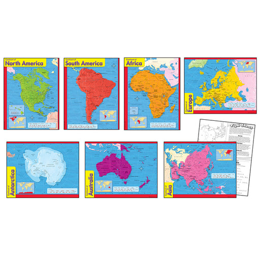
Asia Wall Map 34 X 38
National Geographic Maps
Detailed National Geographic cartography includes country boundaries, place-names, bodies of water, and more for the entire Asian continent.Key Fea...
View full detailsDetailed National Geographic cartography includes country boundaries, place-names, bodies of water, and more for the entire Asian continent.Key Fea...
View full detailsThis 24" x 36" blue ocean wall map is great for room or office décor. It has up to date cartography and is laminated for durability and dry erase m...
View full detailsThis laminated map of the United States has a nice antique look and measures 38" x 48" and comes in a sturdy box. All states and capitals are label...
View full detailsThis laminated map of the World has a nice antique look and measures 38" x 61" and comes in a sturdy box. All countries and capitals are labeled.Ke...
View full detailsCreate inviting, exciting spaces with eye-catching charts and lots of learning! Convenient seven-chart pack for Grades 2-9 includes Continent of Af...
View full detailsThis beautiful Contemporary Series World map is laminated and measures 38" x 61". Can be used for write on and wipe off! A great learning tool.Key ...
View full detailsThis 24" x 36" contemporary style wall map is great for room or office décor. It has up to date cartography and is laminated for durability and dry...
View full detailsOur classic political map of Europe features country boundaries, place-names, bodies of water, airports, major highways and roads, and much more.Ke...
View full detailsHelp children have fun learning while decorating the detailed scenes. Learning Walls are smooth on the front, and corrugated on the back for extra ...
View full detailsThis laminated map of Canada measures 47" x 38", with nice detail, and comes in a sturdy box. It is a Bi-Lingual French/English map.Key Features : ...
View full detailsThis popular Hemispheres United States map is laminated, measures 38" x 48" and is widely used. It shows capitals, cities, populations, and major i...
View full detailsThe Hemispheres Blue Ocean maps are a great addition to any wall, and this two pack includes both the most current USA and World maps. The traditio...
View full detailsThe Hemisphere's World Map is laminated and measures 38" x 51". This best seller contains great detail with country capitals and populations.Key Fe...
View full detailsThis beautiful Contemporary Series United States map is laminated and measures 38" x 48". Can be used for write on and wipe off! A great learning t...
View full detailsThe political map of North America features trademark National Geographic detail and accuracy. The map shows country boundaries, place-names, major...
View full detailsThis resource contains up-to-date maps of countries and regions of the world. It is designed to supplement geography studies, as well as develop a ...
View full detailsOver 50 Reproducible Maps! This resource contains up-to-date maps of countries and regions of the world. It is designed to supplement geography stu...
View full detailsCommemorative your travels or other destination needs by scratching off the top layer above the land masses with this attractive wall map. Undernea...
View full detailsCommemorate your travels or other destination needs by scratching off the top layer above the land masses with this attractive wall map. Underneath...
View full detailsThis classic map of South America shows political boundaries, place-names, airports, major roads and highways, and other geographic features for th...
View full detailsAn updated and expanded version of The World Blank map Forms. You get 92 maps in all, including physical maps, political maps, and blank maps for s...
View full detailsThis colorful 24" x 36" Kid's USA Map will brighten up any space as your child enjoys the fun illustrations. It is solidly laminated for long time ...
View full detailsThis laminated Interactive Wall Chart of the United States comes alive with any smart device by downloading the free app printed on the laminated 3...
View full detailsBring the action and adventure of U.S. history into the classroom with U.S. History Maps for grades 5 and up! From the ice age to the admission of...
View full detailsThis colorful world map desk mat is handy for reference and décor, fits right under a computer, and also acts as a mouse pad. Desk mat has a durabl...
View full detailsExcellent eye catching large world map for home, office or educational. Heavy laminated write-on/wipe-off surface wipes clean with a damp cloth for...
View full detailsThis colorful 24" x 36" Kid's World Map will brighten up any space as your child enjoys the fun illustrations. It is solidly laminated for long tim...
View full detailsNational Geographic's World map is the standard by which all other reference maps are measured. The World map is meticulously researched and adhere...
View full detailsThis laminated Interactive Wall Chart of the World comes alive with any smart device by downloading the free app printed on the laminated 32" x 51....
View full detailsWorld/USA Laminated Notebook map set includes 12 notebook maps measuring 8.5" x 11" and a 12 count clip strip. Can be used in a standard 3-ring bin...
View full detailsWorld/USA Laminated Notebook map set includes 32 notebook maps measuring 8.5" x 11". Can be used in a standard 3-ring binder. Makes easy reference ...
View full detailsThese maps are re-positional, safe for walls, leave no sticky residue, and go on quick and easy which makes them ideal for decorating and educating...
View full detailsThis political version of our Kid's Map invites budding young explorers to identify continents, oceans, countries, capitals and borders. This fun a...
View full detailsCopyright © 2024 Nest Learning.